The easiest and fastest trail. The ascent only takes 90 minutes from the starting point to the summit. It is easy for beginners, children and families.
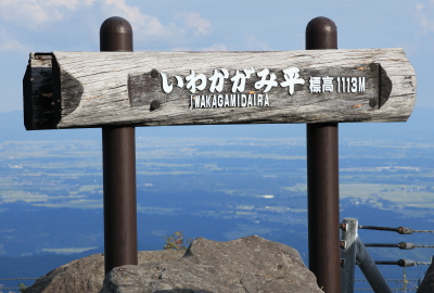
【Trail entrance】 Iwakagami-daira(Numakura, Kurikoma, Miygagi Pref.)
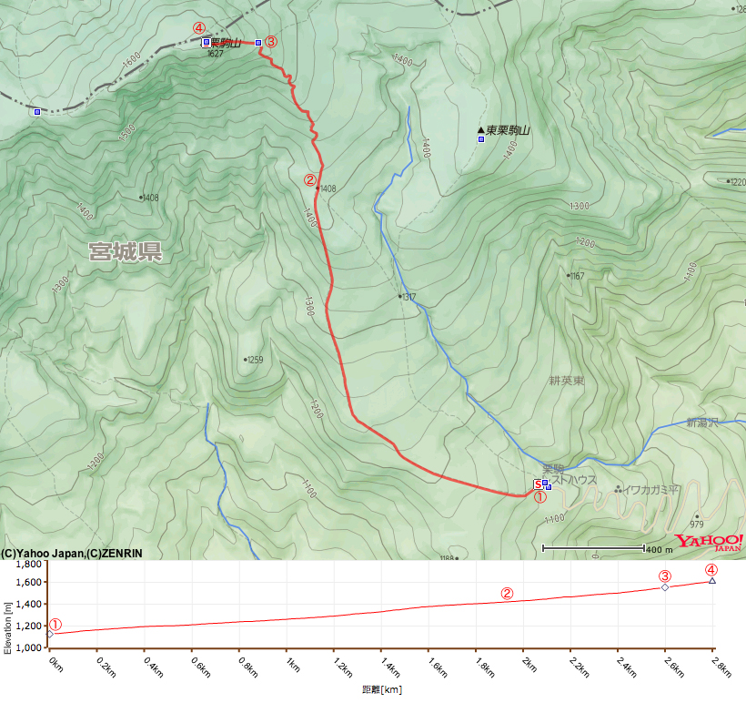
【Distance】 approximately 2.9km
【Altitude of trail entrance】 1,113m
【Altitude difference】 513m
【Total altitude difference】 approximately 517m
【Difficulty level】 physical endurance ★☆☆☆☆ technique ★☆☆☆☆ risk ★☆☆☆☆
【Other information】 No drinking water available on trail No dangerous places
【Phone reception】 Docomo strong signals au and Softbank weak signals
【General guide】
There are nine trails that lead to the summit of Mt Kurikoma. The easiest trail is the Central (Chuo) trail. The ascent to the summit only takes 90 minutes from the starting point to the summit.
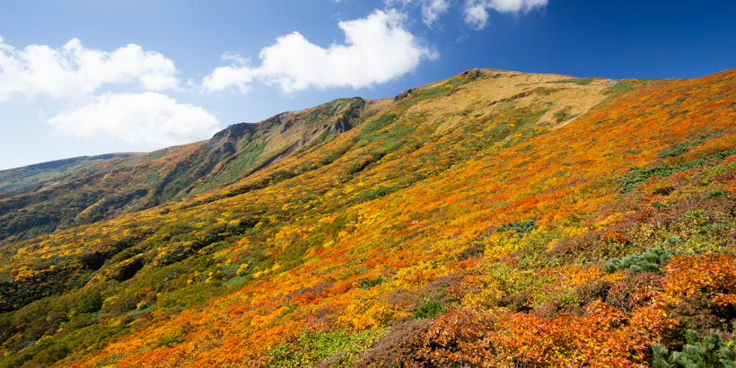
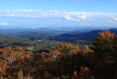
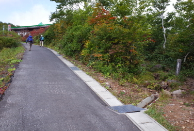
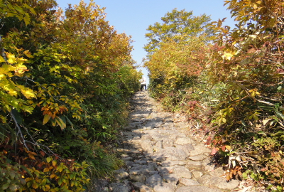
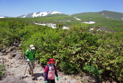
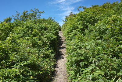
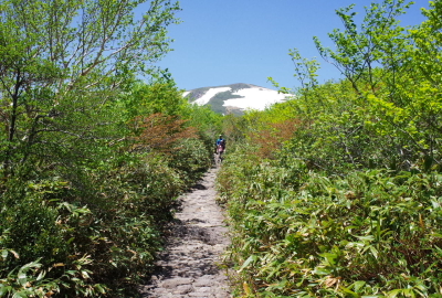
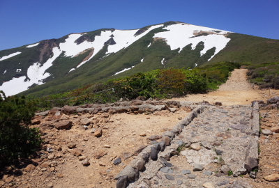
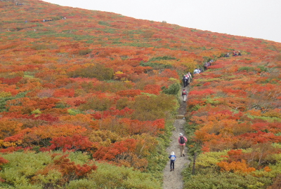
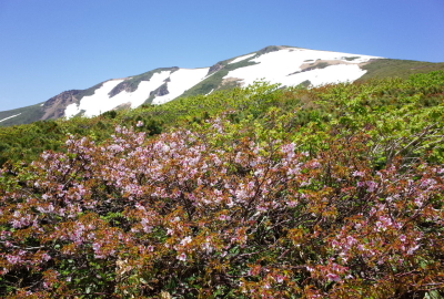
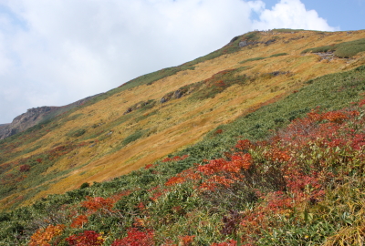
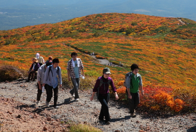
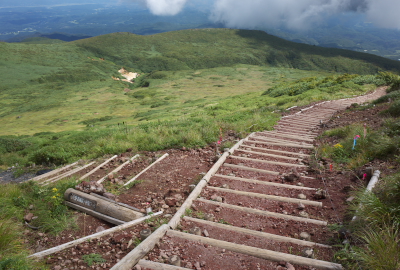
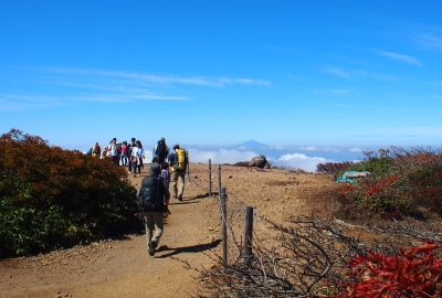
The first part of the trail is a gentle slope up forested path, while the second part offers a great view of breathtaking scenery. This path may become crowded in the peak season for viewing the autumn leaves.
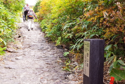
The trail is paved. It is easy for beginner hikers, children, and families, and is the most commonly used trail with one of the best evacuation routes. Although many people use the Higashi Kurikoma trail the whole way around Mt Kurikoma, taking the Higashi Kurikoma trail for your ascent and the Central (Chuo) trail for descent is another good option.
【Time】 Ascent 90 minutes Descent 70 minutes
Ascent(Descent)
1.Iwakagami-daira ~50 min.(40 min.)~ 2.Peak 1,408 ~30 min.(23 min.)~ 3.Trail junction of the Central (Chuo) and the Higashi Kurikoma trail ~ 10 min.(7 min.)~ 4.Summit
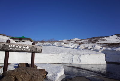
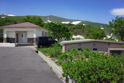
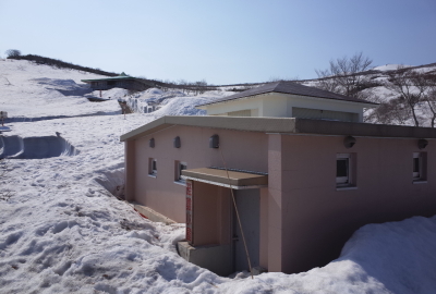
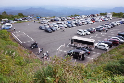
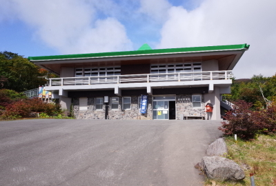
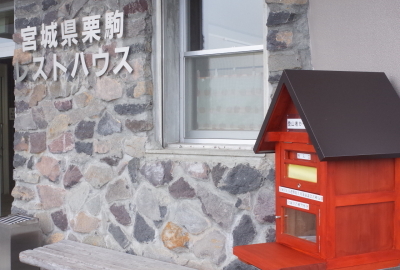
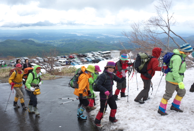
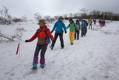
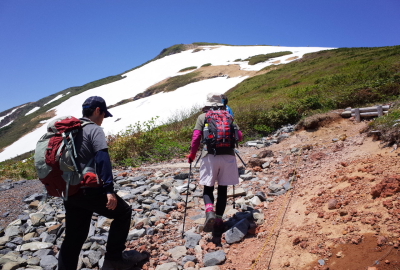
Iwakagami-daira parking lot, Altitude of 1,113 metersThe road to the parking lot is opened to traffic around Golden WeekThere are 3 parking lots at Iwakagami-dairaYou can see a wonderful view from IwakagamidairaPublic restrooms on the left, an evacuation hut on the rightBuildings are covered with snow in winterThe Higashi Kurikoma trail entrance is in front of the Central(Chuo) trail entranceThe parking lots may be full in the early morning during peak seasonYou can get food and take a rest at the mountain hutDon’t forget to post your hiking planThe Chuo trail entrance is next to the mountain hutTrails are covered with snow in early spring
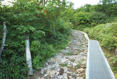
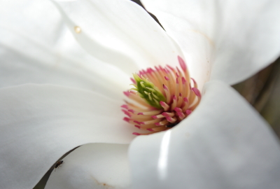
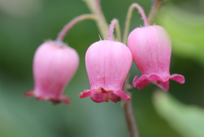
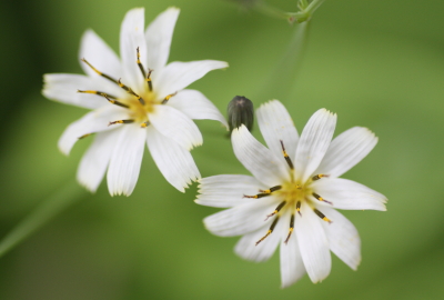
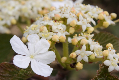
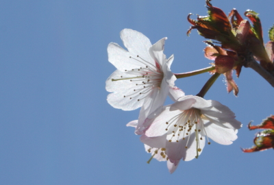
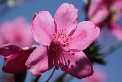
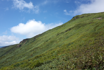
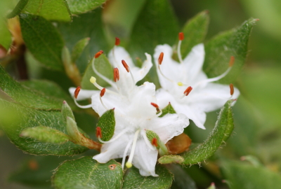
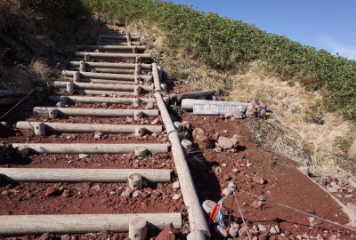
You slowly ascend the steep slopeTrails are sometimes covered with snow during the spring hiking seasonThe Chuo trail is easy to hike. There are some big rocks on your leftYou can see both peaks on the big rock. (In Spring)You can see both peaks on the big rock. (In Autumn)There is still some unmelted snow in early springThe first part of the trail is gentle slopeYou can see where you are thanks to signpostsYou can see the summit around the small peakThe trail is popular with a lot of hikers in peak seasonBe mindful sudden changes on the pathThere is enough space around the small peakAnise magnoliaMenziesia multifloraIxeris dentataViburnum furcatumJapanese alpine Cherry (Prunus nipponica)Rhododendron albrechtii
————————————————————————————————————————————————————————————
2.Peak 1,408 ~30min.(23min.)~ Trail junction of the Central (Chuo) and the Higashi Kurikoma trail
————————————————————————————————————————————————————————————
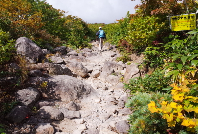
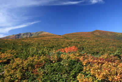
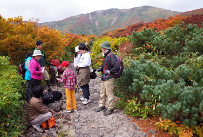
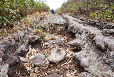
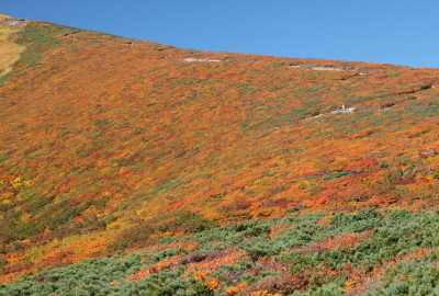
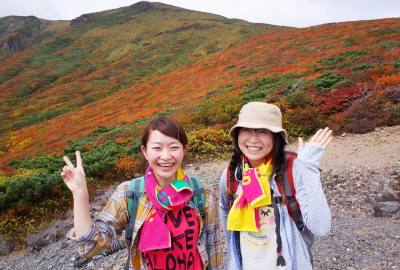
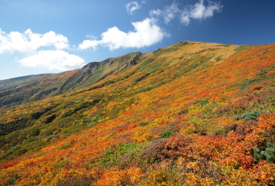
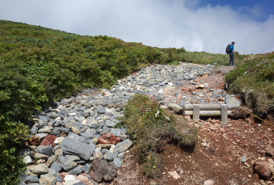
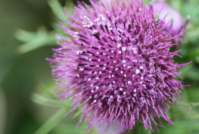
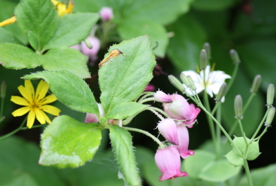
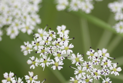
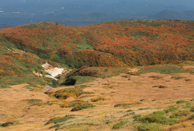
There is a sign at the peak of 1,408m. It’s often very windy here!You can see some unmelted snow shaped like a horseThe trail restarts with a gentle slope from peak 1,408mYou can enjoy the beautiful autumn leavesMany hikers take a photo around hereImpressive view at the beginning of OctoberJapanese alpine cherry and the new green shoots of springThe trail is rough in placesIn SummerIn AutumnAt the beginning of October in peak seasonThe trail is rough at the junction of the Central and the Higashi Kurikoma trailsUgo thistleFlowers in SpringFlowers in SpringFalse Snowparsley (Tilingia ajanensis)
————————————————————————————————————————————————————————————
3.Trail junction of the Central (Chuo) and the Higashi Kurikoma trail ~ 10min.(7min.)~ Summit
————————————————————————————————————————————————————————————
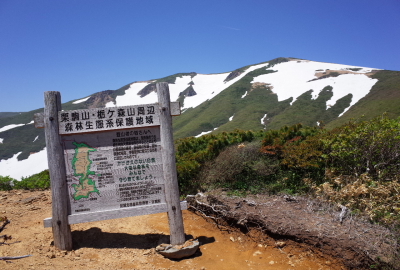
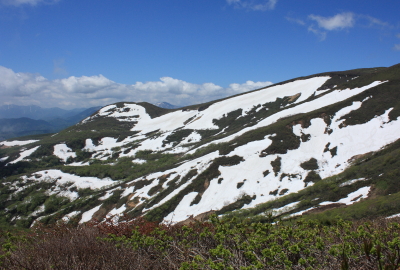
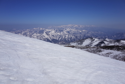
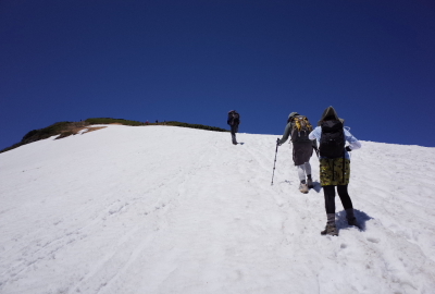
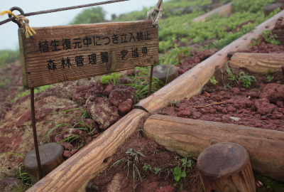
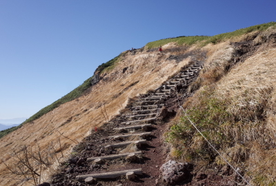
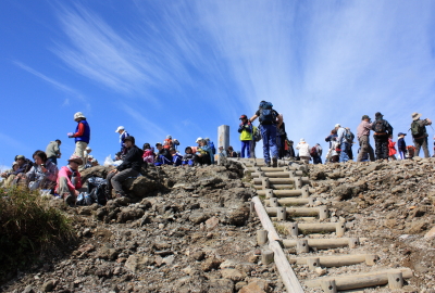
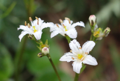
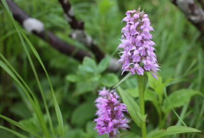
Trail junction of the Central and the Higashi Kurikoma trailTrail junction of the Central and the Higashi Kurikoma trailYou can see some mountains from the summitThere is still some unmelted snow until JuneView of grassland around the Shin YuzawaPlease stay on established trails so as not to damage the flora hereThe trail is narrow and steepAfter climbing a steep slope, you can reach the summitNephrophyllidium (Nephrophyllidium crista-galli)Dactylorhiza (Dactylorhiza aristata)
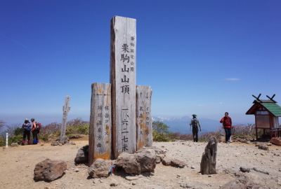
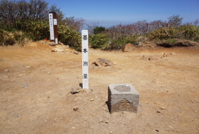
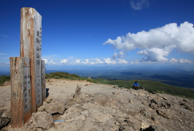
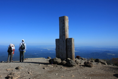
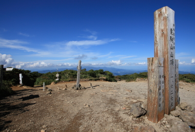
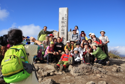
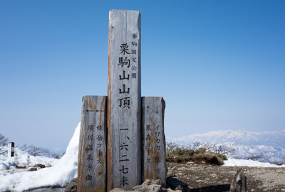
The summit of Mt Kurikoma with the markersA stone triangulation markerView of east (Iwate and Miyagi) from the summitView of west (Akita and Yamagata, Mt Chokai) from the summitView of south (Kurihara, Miyagi) from the summitView of north (Ichinoseki Iwate, Mt Yakeishi) from the summitThe summit is popular with a lot of hikers in high seasonThe summit just before hiking season