Great Hot Springs at trail entrance, an abundance of alpine flowers, stunning autumn leaves and a line-up of wonderful landscapes to enjoy!
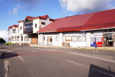
【Trail entrance】 Sukawa Kogen Onsen(46 Matsurubeyama, Genbicho, Ichinoseki-shi, Iwate Pref.)
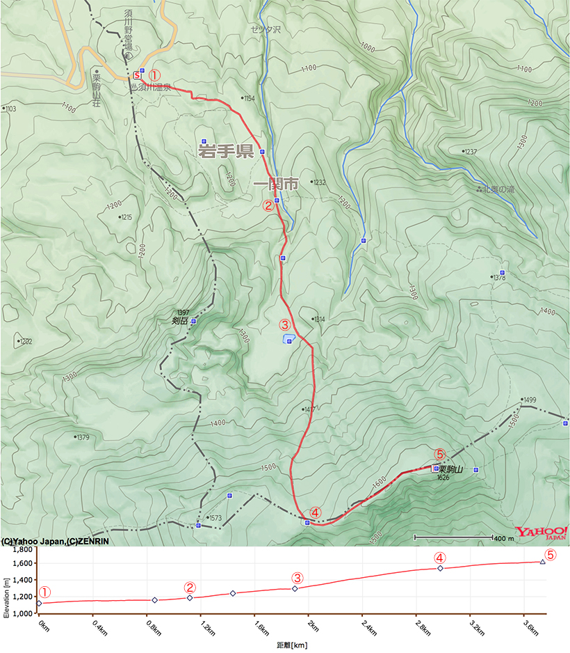
【Distance】 approximately 3.7km
【Altitude of trail entrance】 1,126m
【Altitude difference】 528m
【Total altitude difference】 approximately 530m
【Difficulty level】 physical endurance ★☆☆☆☆ technique ★☆☆☆☆ risk ★☆☆☆☆
【Other information】 No drinking water available on trail No dangerous places except volcano
【Phone reception】 Docomo strong signals au and Softbank weak signals
【General guide】
There are nine trails that lead to the summit of Mt Kurikoma. The Sukawa trail is one of the most popular trail. The trail is in good condition, and well-marked. It is easy for beginner hikers, children, and families.
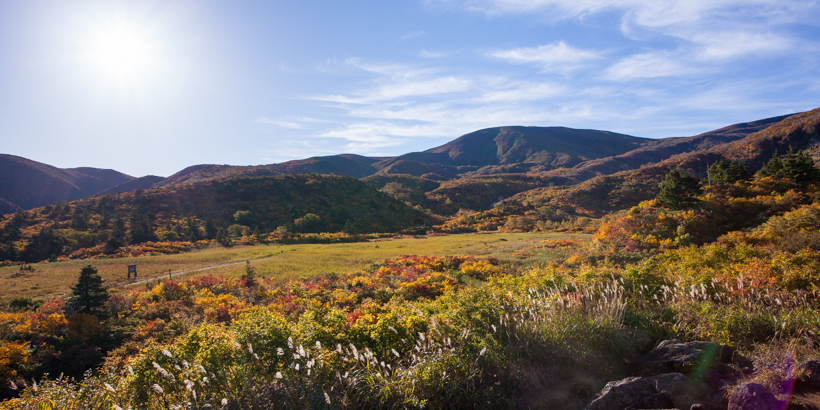
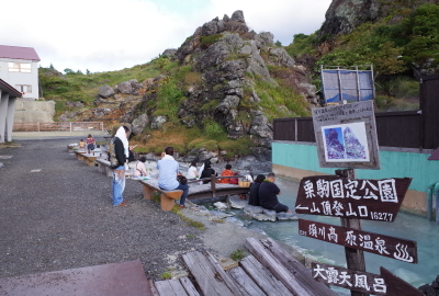
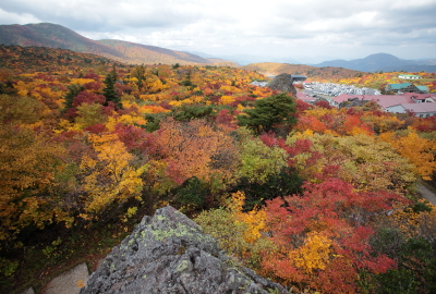
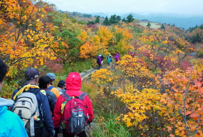
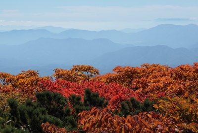
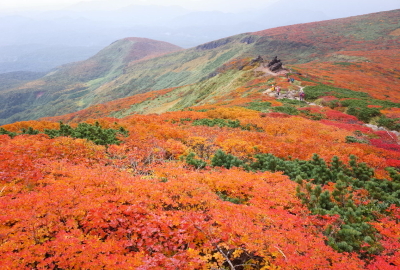
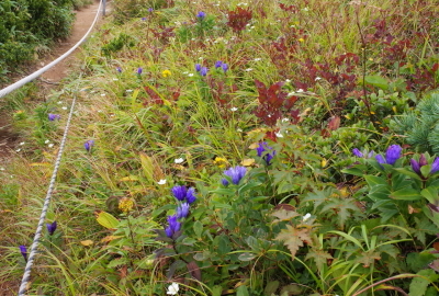
There is a great hot spring at the trail entrance. You can see an abundance of alpine flowers at Nagorigahara (moorland). You can also enjoy the beautiful scenery created by the old active volcano, including Jigokudani (Hell Valley) and Lake Showa – which is actually one of the volcano’s craters! There are some fantastic views of the landscape and autumn leaves here, too.
Mt Kurikoma is an active volcano. It has lain dormant since its last eruption in 1944. There are some craters around the Sukawa trail. Please note that high concentrations of toxic volcanic gases may accumulate in places of lower altitude such as recesses and valleys. If you realize that there is something wrong with the volcano, such as a bad smell, earthquakes or unusual changes, make sure to evacuate to a place of safety as soon as possible.
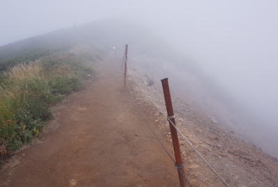
Be aware that strong cold winds on the ridges of Mt Kurikoma. Make sure to be careful on the narrow edge from Tengu-iwa to the summit particularly in times of low visibility due to fog or wind.
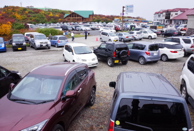
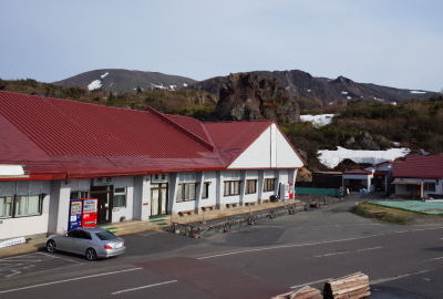
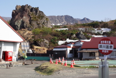
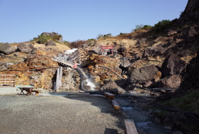
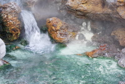
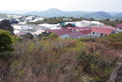
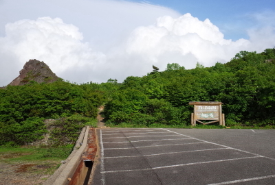
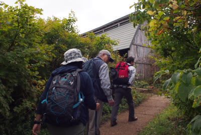
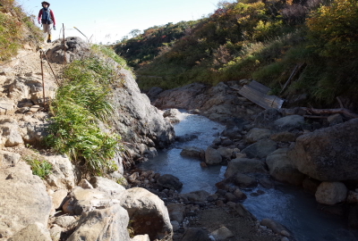
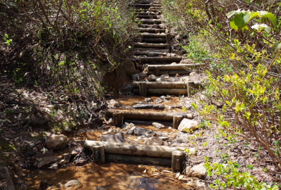
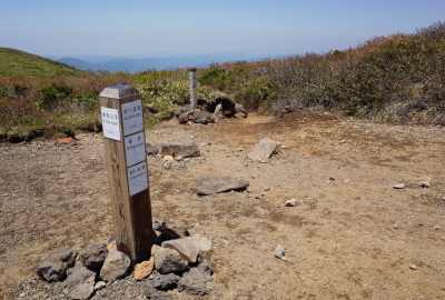
Trail entrance is located at the border between Iwate and Akita Pre.The parking lots may be full in the early morning during peak seasonMt Kurikoma behind the Sukawa Kogen OnsenThe entrance of the Sukawa Kogen Onsen hotel with hiking plan logDon’t forget to complete your hiking plan here before hikingA famous outdoor hot spring (Dainichi-yu) and huge rockThe hot spring stream is always popular with visitorsThe Sukawa trail along the hot spring streamThe trail is paved around the Sukawa Kogen OnsenIt springs 6,000 liters every minute, the second largest in JapanYou can see good views along the trailAnother trail entrance which is on the border of Iwate and Akita Pref.
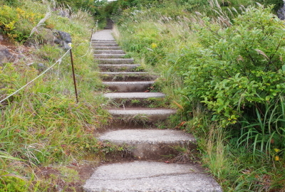
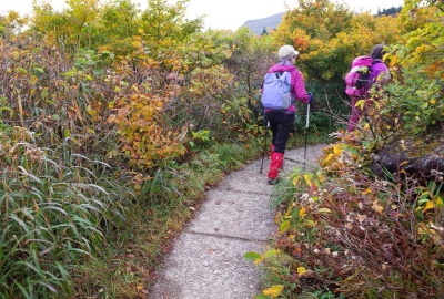
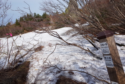
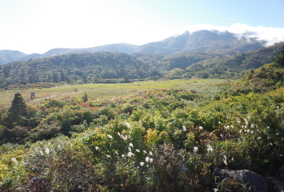
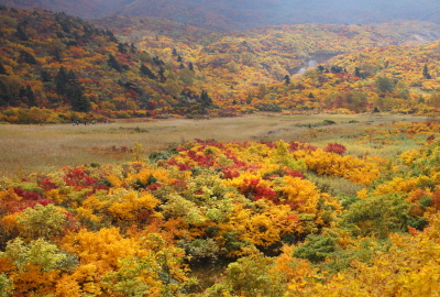
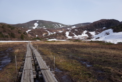
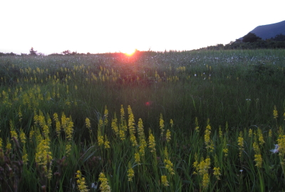
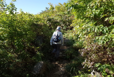
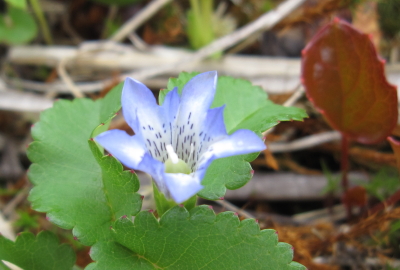
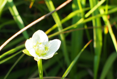
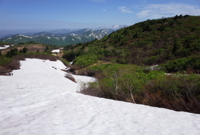
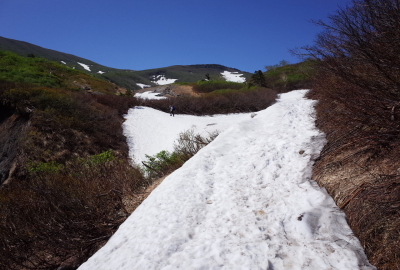
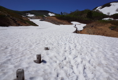
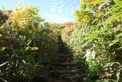
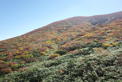
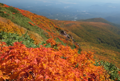
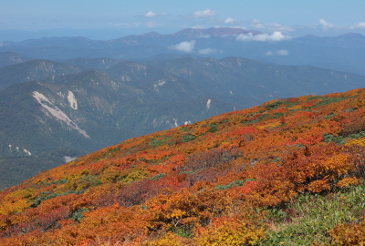
The first part of the trail is paved and easy to hikeThis wooden house is actually a sauna bathhouseYou can see the whole Sukawa Kogen Onsen along the trailThere are three trails to reach the Nagorigahara (moorland)The trail is covered with snow in early springMt Kurikoma, Mt Yuge and Tsurugidake from the NagorigaharaSunrise from the Nagorigahara. Steam is spurting from the ground hereView of the Nagorigahara (moorland) in summerView of the Nagorigahara (moorland) in autumnMt Chokai over Sukawa KogenYakeishi Mountains from Nagorigahara (moorland)The entrance of Nagorigahara (moorland)Nagorigahara (moorland) in early springNarthecium fields at Nagorigahara (moorland)Nagorigahara (moorland) in summerNagorigahara (moorland) in peak autumn seasonAt the south of Nagorigahara (moorland)The real hiking trail starts from Nagorigahara (moorland)Tateyama gentian (Gentiana thunbergii var. minor)There is an abundance of alpine flowers at Nagorigahara
————————————————————————————————————————————————————————————
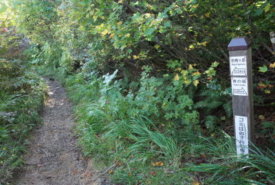
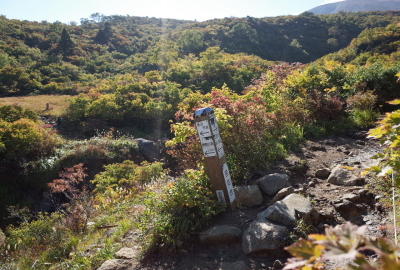
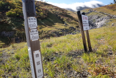
2.Taikadai (Trail junction of nature observation trail) ~30min.(20min.)~ Lake Showa
————————————————————————————————————————————————————————————
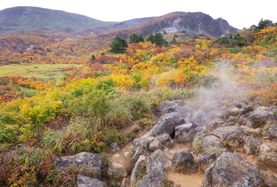
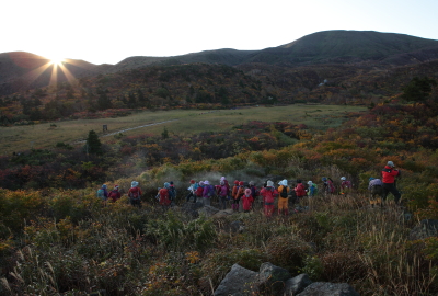
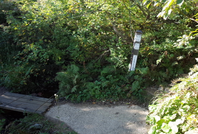
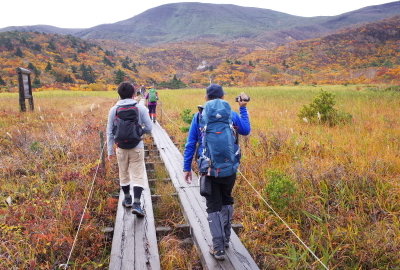
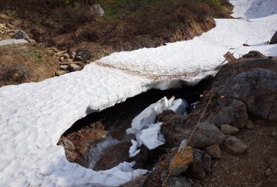
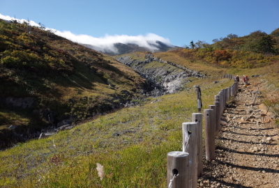
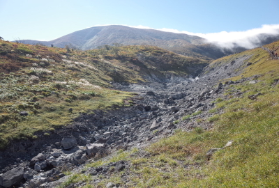
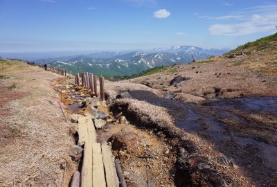
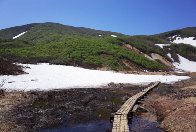
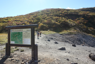
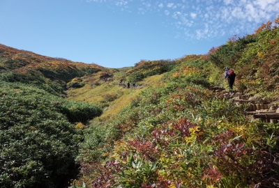
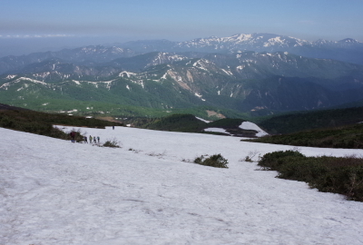
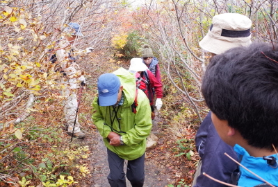
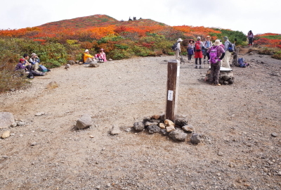
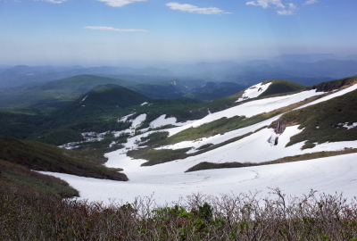
It takes about 5 minutes from Nagorigahara to TaikadaiThere is a lot of greenery both sides of the trailNagorigahara (moorland) and Taikadai trail junction in early springThe trail is very popular with a lot of hikers in peak seasonThe Sukawa trail is easy to hikeThere is still some unmelted snow in early springCrossing point of the Zetta mountain streamYou can cross the streamJigokudani (Hell Valley) emits toxic volcanic gasesDO NOT STOP around Jigokudani (Hell Valley) Keep walking!Be careful at Jigokudani as it is covered with snow in early springThere are no plants at Jigokudani (Hell Valley)Looking back, the Yakeishi mountains are beautifulView from near Lake Showa in early spring
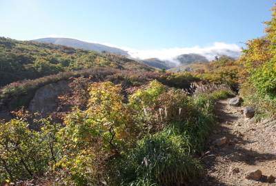
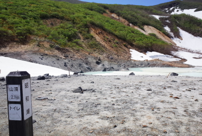
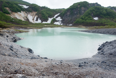
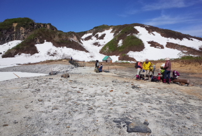
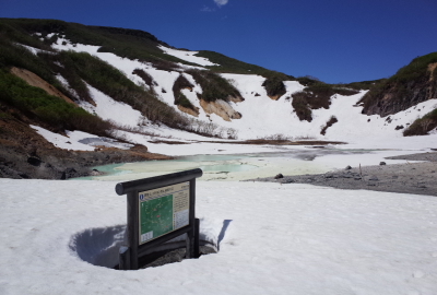
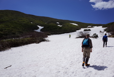
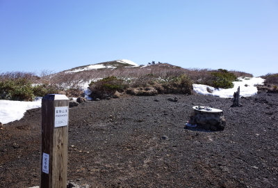
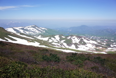
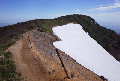
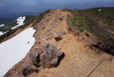
The Lake Showa is one of the craters that erupted in 1944The lake is known to change colour due to volcano activitiesThere are a few benches and public restroomsThe lake is covered with snow in early springTake the trail to the summit on the leftThe trail is narrow and steep from Lake ShowaThis trail retains water for several days after rainYou can see the summit nearby the Tengu-daira (Trail junction of Sukawa)There are some great views to see hereThe trail is covered with snow in early springAutumn leaves on the north face is also beautifulThe Yakeishi mountains in early springGive way to other hikers in peak seasonYou will soon arrive at the Tengu-daira
————————————————————————————————————————————————————————————
4.Tengu-daira (Trail junction of Sukawa) ~ 20min.(15min.)~ Summit
————————————————————————————————————————————————————————————
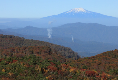
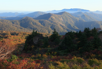
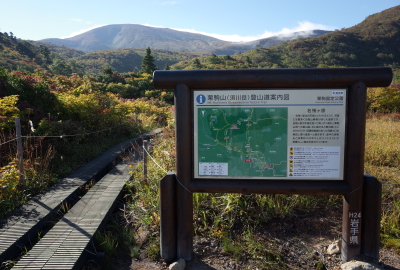
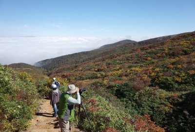
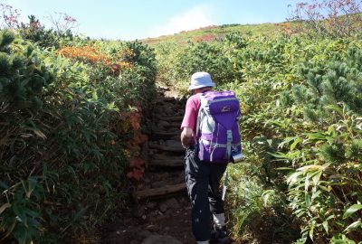
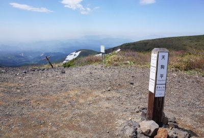
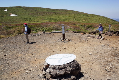
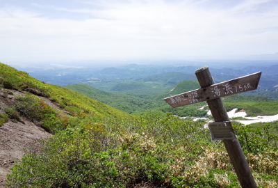
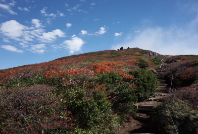
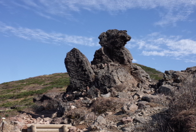
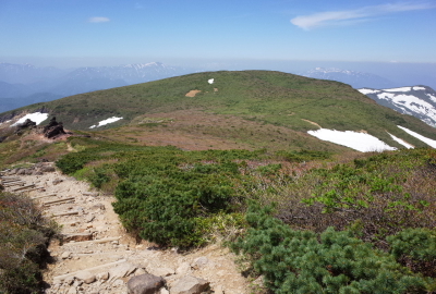
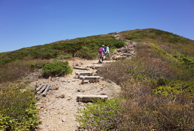
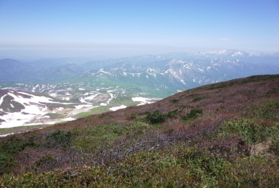
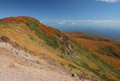
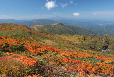
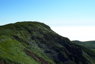
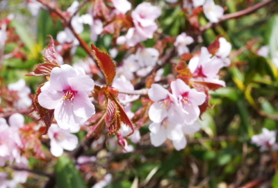
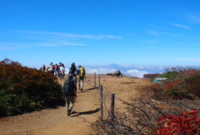
Tengu-daira (trail junction of Sukawa) is a crossroads of 5 trailsThere is open space at the Tengu-dairaView of the east (the summit) from the Tengu-dairaView of the west (Tenmaone trail) from the Tengu-dairaView of the south (Omotegake, Daichimori,Yubama)View of the north (Sukawa trail) from the Tengu-dairaThere is a sign at the Tengu-dairaThe trail is in good condition near the summitTengu-iwa, there are 2 big rocksView of the south (Omuro) from the Tengu-iwaView of the west from the Tengu-iwa, Mt Chokai, GassanThe trail is easy to hikeView from near the summit, Tenmaone and MagusadakeView from nearby the summit, Lake Showa and Sukawa Kogen OnsenYou can see panoramic views of the Ou mountainsAutumn leaves on west faceView of the south east (The summit and Kurihara City)View of the west (The Tenmaone and Mt Chokai)The south face and Iwakagami-dairaThe north face and Yakeishi mountainsThe summit in late autumnIt’s often very windy near the summitThe mountain’s south side is a sheer cliff, so please be carefulLooking backwards, the trail near the summitThere is an abundants of alpine flowers both sides of the trailJapanese alpine Cherry (Prunus nipponica)
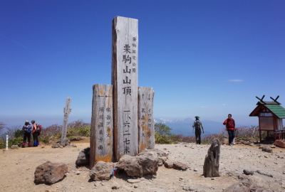
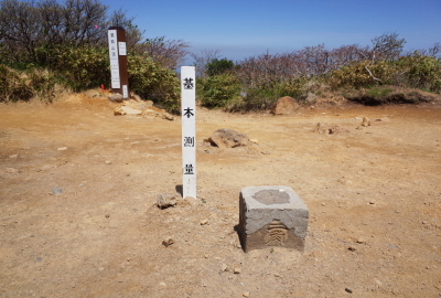
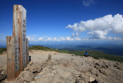
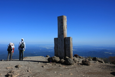
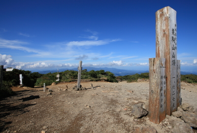
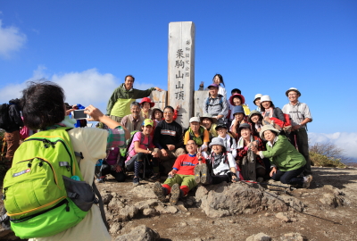
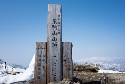
The summit of Mt Kurikoma with markersA stone triangulation markerView of the east (Iwate and Miyagi) from the summitView of the west (Akita and Yamagata, Mt Chokai) from the summitView of the south (Kurihara, Miyagi) from the summitView of the north (Ichinoseki Iwate, Mt Yakeishi) from the summitThe summit is popular with a lot of hikers in peak seasonThe summit just before hiking season